
Places to Visit Nearby
`
Sabarmati River Front
Sabarmati Riverfront The average width of the river channel was 382 metres (1,253 ft) and the narrowest cross-section 330 metres (1,080 ft). It is uniformly narrowed to 263 metres (863 ft) without affecting its flood carrying capacity and the riverbed land is reclaimed on the both east and west banks to construct 11.25 kilometres (6.99 mi) long riverfront. It can hold 470,000 cu ft/s (13,000 m3/s) without spillage. The total of 202.79 hectares (501.1 acres) of land is reclaimed. The reclaimed land is used for public as well as private development. More than 85% of the reclaimed land proposed be used for public infrastructure, recreational parks, sports facilities and gardens while nearly 14% proposed be used for commercial and residential purpose. It improves environment by reducing erosion of the banks and flooding of low-lying areas of the city by the walls constructed on the both banks. The new integrated sewage and storm-water system intercepts 38 former sewage and industrial effluent discharge points and route it to sewage treatment plants south of Vasna Barrage. It enabled the groundwater recharge and the recreational facilities like boating in the river.[13] There are also plans to replenish river by treated sewage water.
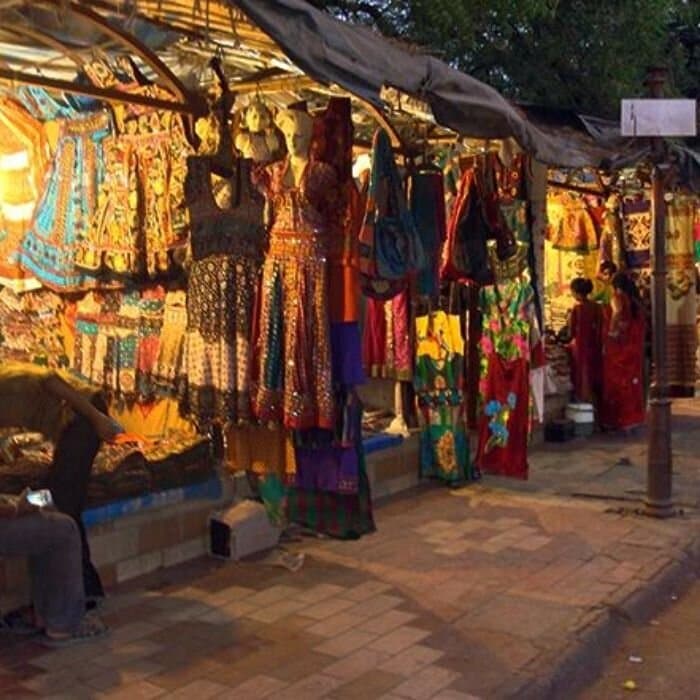
Law Garden
A popular park in Ahmedabad, Law Garden is surrounded by vibrant street markets where visitors can buy traditional Gujarati handicrafts, textiles, and jewellery.
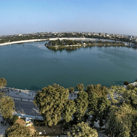
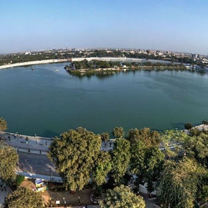
Kankaria Lake
A popular recreational spot, Kankaria Lake offers activities such as boat rides, a zoo, an amusement park, and a water park, making it a favourite for families and tourists alike.
NA
NA
Loading...